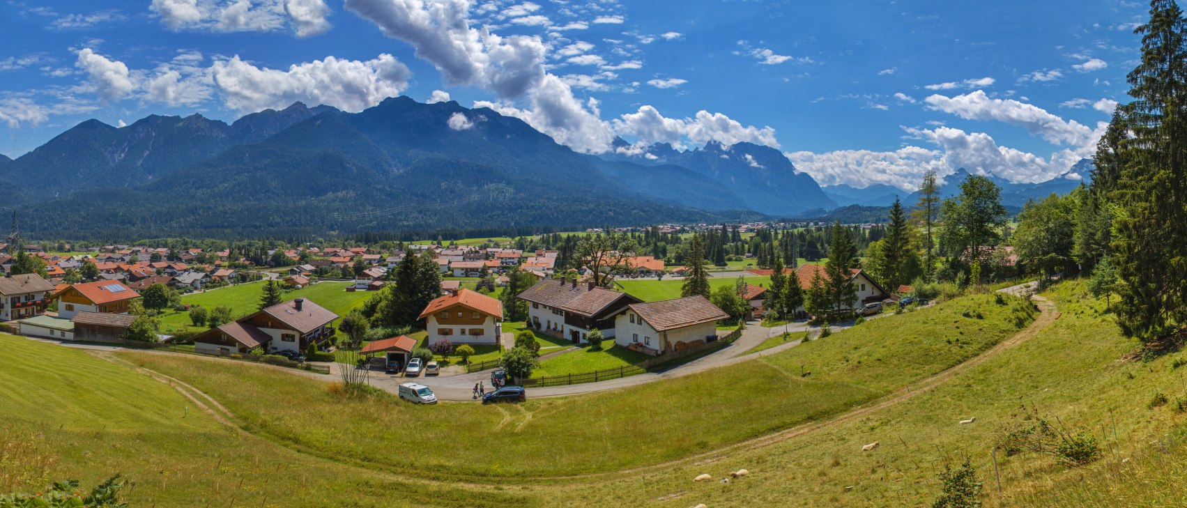
Family day in Wallgau - Beautiful views
Hiking tour:Round tour


Start: Wallgau Town Hall - Destination: Wallgau Town Hall
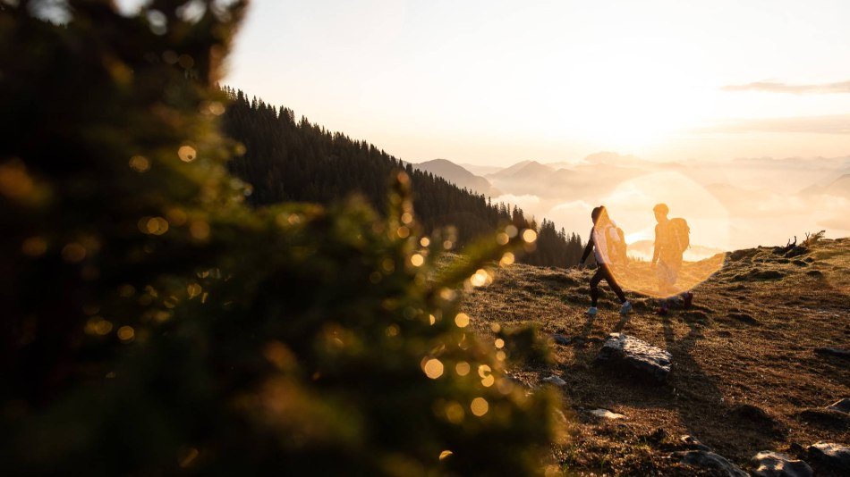
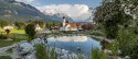
The entertaining round offers variety for a day and the best views of the Karwendel and Wetterstein mountains. Get to know the beautiful nature in a playful way.
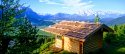
The start is at the town hall in Wallgau, accessible via the bus stop of the same name. If you arrive by car, you can park at the "Wallgau Zentrum" car park on Soiernstraße. Via the Sonnleiten, you walk to the Magdalena-Neuner-Panoramaweg, which was of course named after the famous biathlete and offers a lot of informative information on the display boards about the Wallgau native. All along the way we have a glorious panorama of the Karwendel- and Wetterstein Mountains. For all enthusiastic hikers who want to gain a few extra metres of altitude, we recommend a detour to the summit of the Krepelschrofen. There you will be rewarded with a breathtaking view over the entire upper Isar valley. Back on the panorama trail, the well-maintained footpath leads leisurely on to the northern exit of the village in the direction of Walchensee. Here you cross the B11 and so it is better to take the children by the hand and then continue on the geological circular hiking trail. Here you can learn a lot of interesting facts about the origin of the Isar and the formation of the Karwendel mountains. To make sure no one goes hungry, it's not long before the next restaurant. At the Maxhütte you can enjoy a delicious meal, whether savoury or sweet. Afterwards you can go to the playground.
The way back leads along the road below the Maxhütte to Risserstraße. Keep left here and follow the geological trail back to the village.


Dammkarstraße 3
82481 Mittenwald
Tel: +49 (0) 8823 / 33 9 81
Stay up to date with the Alpenwelt newsletter! Featuring stories, tips for your vacation, exclusive offers and much more.
Sign up directly