Hike to the Simetsberg near Wallgau
Mountain hikes


Start: Northern exit of Wallgau - Destination: Simetsberg ; Aussenbereich ; 82499 ; Wallgau
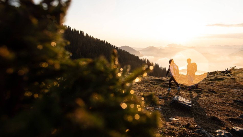
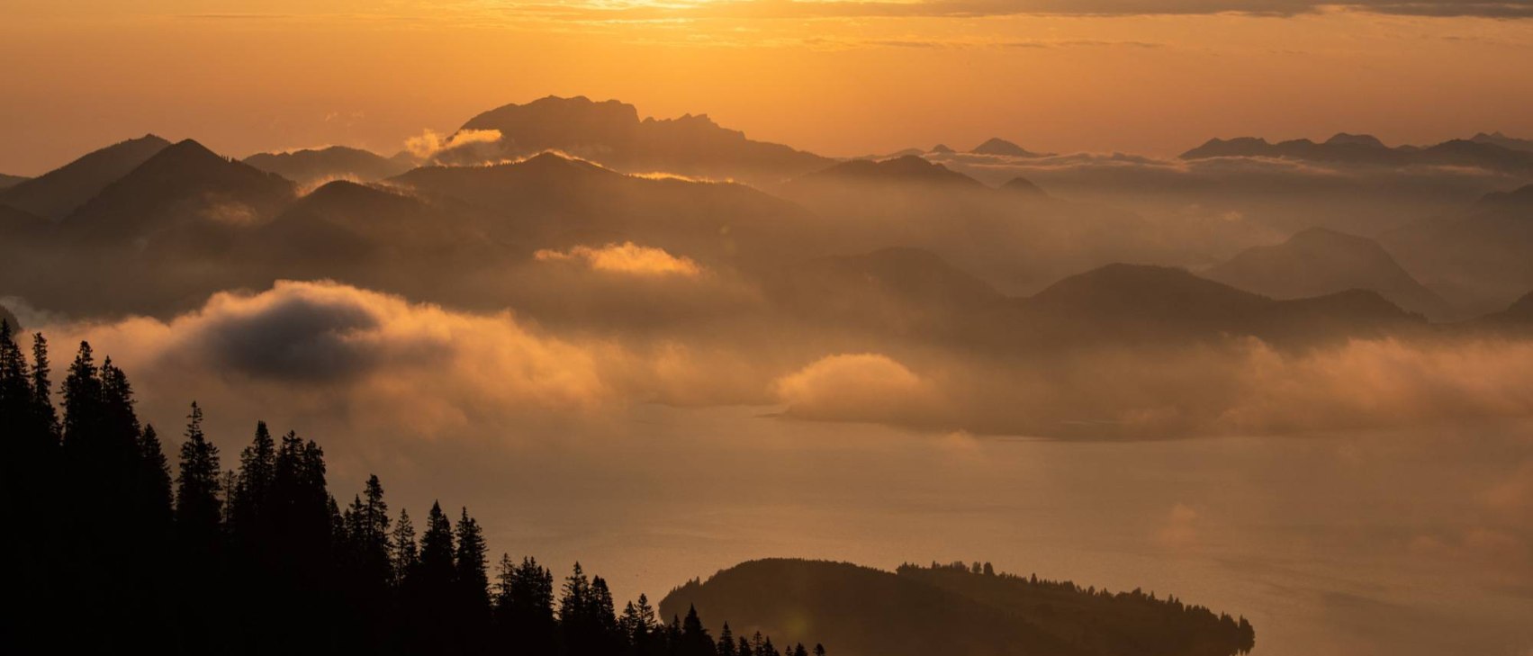
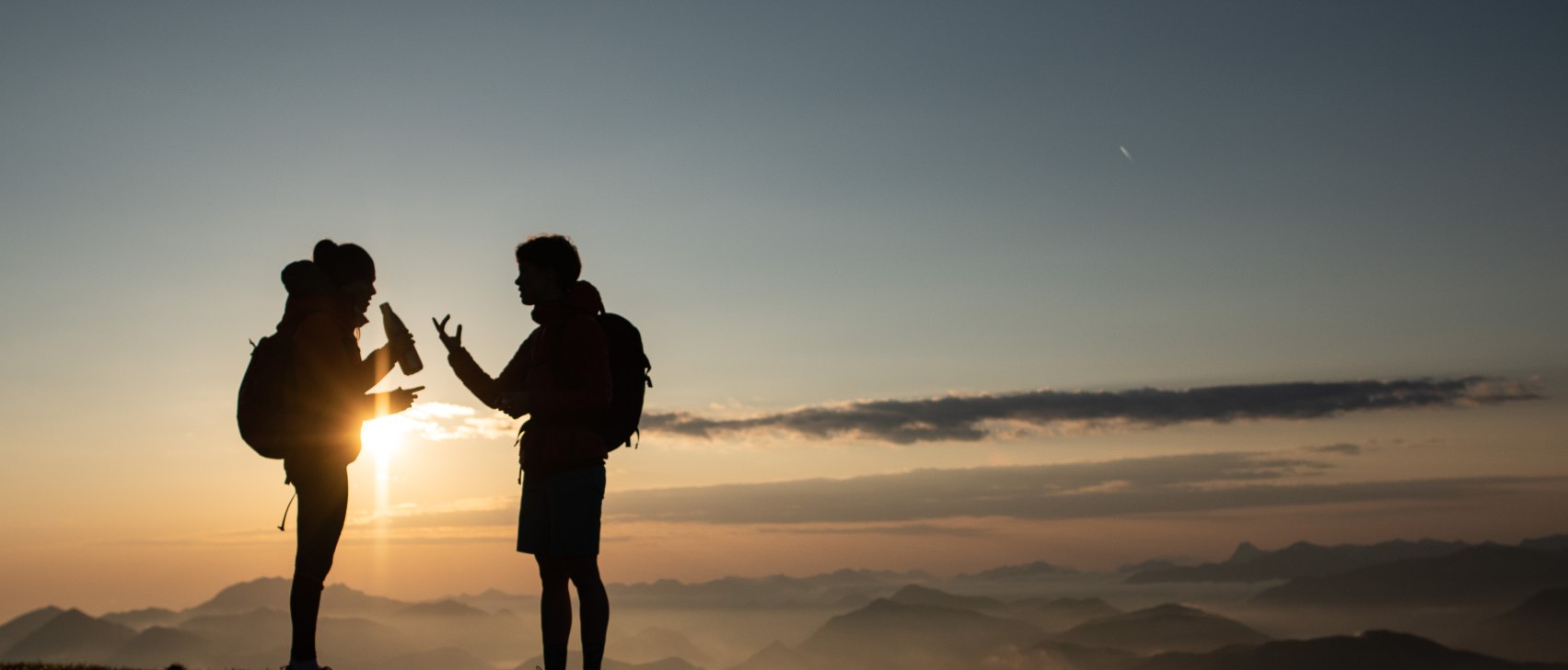
This uniquely beautiful and diverse mountain tour begins in the center of Wallgau and leads high up to Wallgau's panoramic mountain, the Simetsberg (1.840 m). It passes natural alpine pastures on the way to the summit, with an impressive panoramic view to the Central Alps...
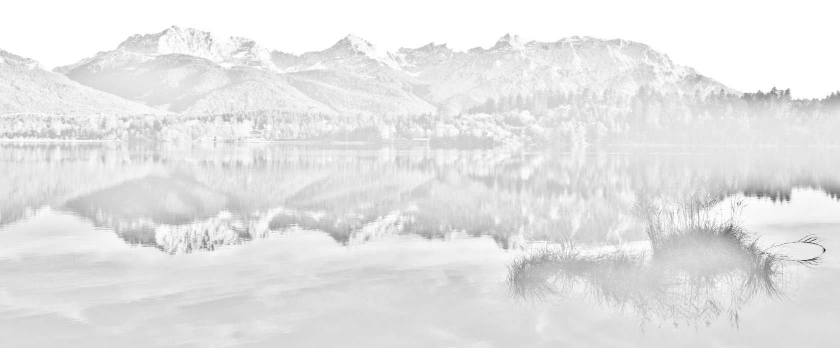
From the hiking parking lot at the northern exit of Wallgau,accessible via the bus stop "Bichl Wallgau", the trail rises slightly through the forest. After just a short time, a view of Wallgau and the Sachensee lake emerges on the right. Further up, bear left off the forest road; from here, you will hike through the forest. A relatively straight, rising trail traverses the sparse, mixed woodland, which offers hikers interesting views and pleasant shade. White water and lake view: the alpine ravine and the Walchensee. The loud rushing of water can be heard as it flows through the rear alpine ravine to the valley further below. Particularly in early summer, when the last snows have melted and run off, the river makes a lively and colorful impression. The mountain is also suitable for tours in the winter, however. After approx. 1.25 kilometers on the trail, a short path to the right leads back to the forest road. Then turn right along the forest road. Here, the forest clears. After approx. 1.75 kilometers you will reach a vantage point with a bench. A short break here is just short of required: below, the entire Walchensee extends in vivid turquoise and blue colors. The panoramic mountain provides a phenomenal all-round view of the surrounding landscape. At the next junction, turn right again and hike through the dense coniferous forest. The mountain trail continues up toward the summit for about an hour. Then, you've done it: for the last 800 meters, the forest opens up and finally reveals the view of the entire surrounding region: to Heimgarten and Herzogstand in the east, and the Soiern and Karwendel ranges in the south. Alternatively, the mountain tour can also be started in Obernach (Walchensee).


Dammkarstraße 3
82481 Mittenwald
Tel: +49 (0) 8823 / 33 9 81
Stay up to date with the Alpenwelt newsletter! Featuring stories, tips for your vacation, exclusive offers and much more.
Sign up directly