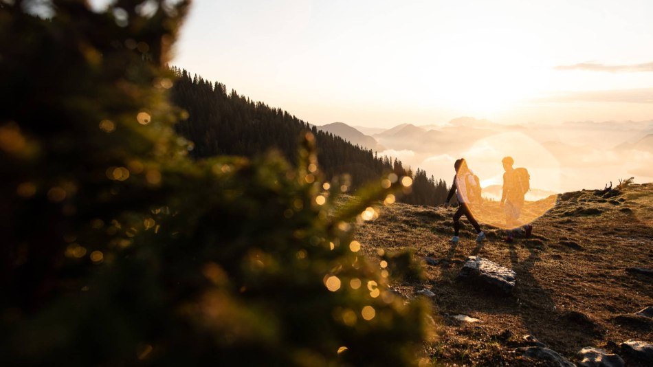
Back to start

Top hiking trail

Hiking tour:Round tour

Start: variable - Destination: variable

Tour dates

  • Duration65:49 h
  • Distance199.2 km
  • Difficultymedium
  • Altitude8030 m
  • Lowest point616 m
  • Highest point1924 m

Tour highlights

    Tour description

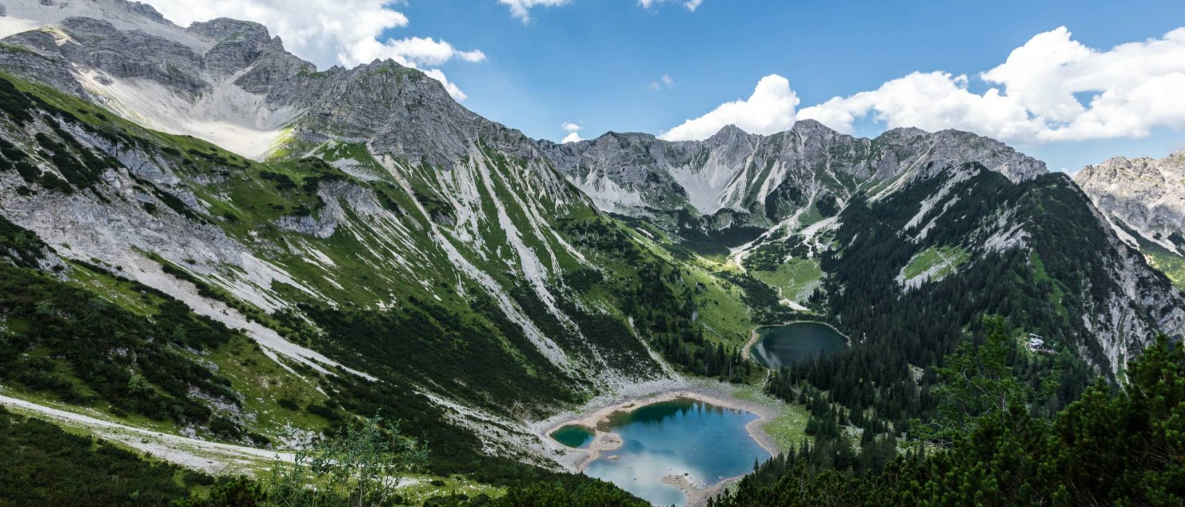
    The 200-kilometre-long peak hiking trail through the Zugspitz region has no fixed starting or ending point.


    The highlights of the tour

    • Round hiking trail across the Zugspitz region
    • 201 kilometres in length, 14 days total walking time
    • Spectacular panoramas and the most beautiful valleys

    The tour description

    The more than 200-kilometre-long Spitzenwanderweg through the Zugspitz region has no fixed starting or finishing point. At any of the stage stops you will find easy-to-reach places for your journey by car, bus or train.

    If you start, for example. in Murnau, the loop is as follows:

    • From the Loisachtal to Partenkirchen via Ohlstadt, Eschenlohe, Oberau and Farchant
    • Through the Partnachklamm gorge to the Eckbauer
    • Via the Elmauer Alm into the Isar valley via Wamberg and Klais
    • From the lakes into the Karwendel via Barmsee, Tennsee, Krün
    • On the Königsweg to the Soiernhaus via Wallgau and the Fischbachalm
    • Through the Gamsgebirge to Mittenwald
    • From Mittenwald to the Königshaus am Schachen via Lautersee, Ferchensee and Wettersteinalm
    • Through Reintal over the Wetterstein via Höllentalangerhütte
    • From Höllental to Grainau
    • From the foot of the Zugspitze to Graswang
    • From Linderhof over the Pürschling to Unterammergau
    • From the Ammergau Alps via Bad Kohlgrub to Staffelsee

    .
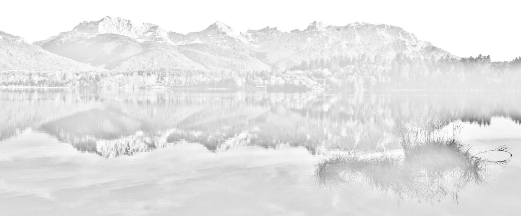
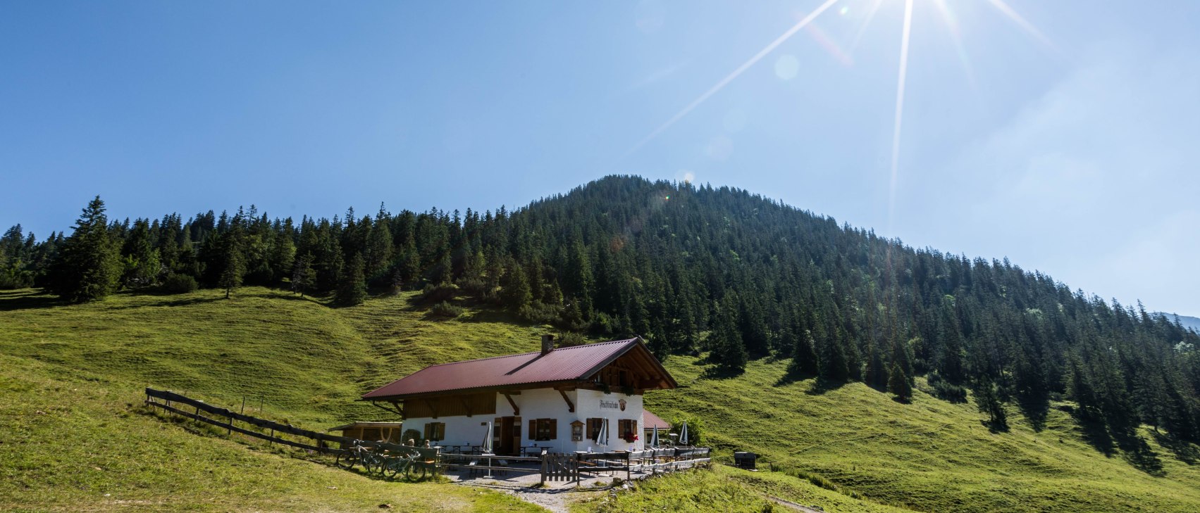
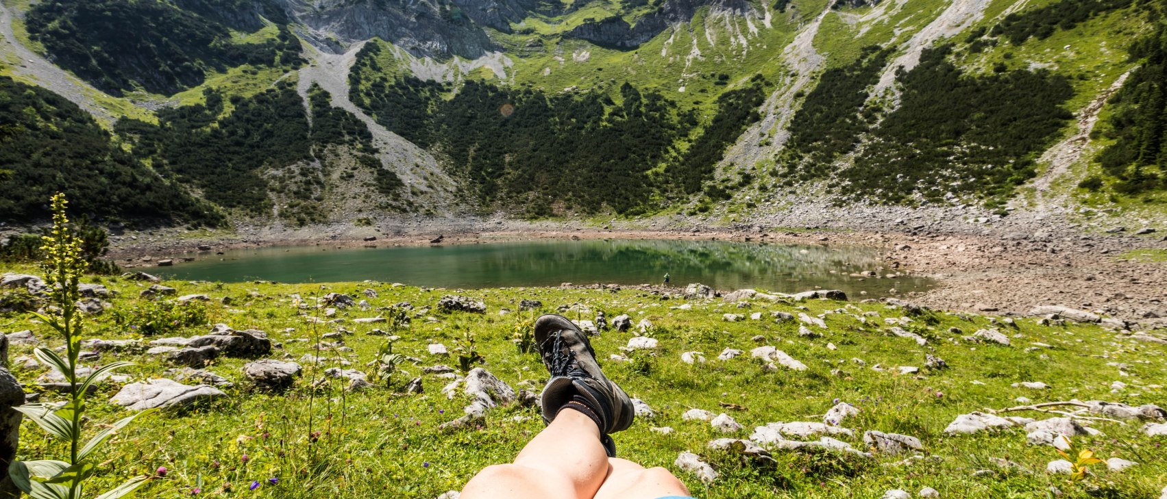
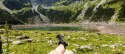
    Your stopping-off points along the way
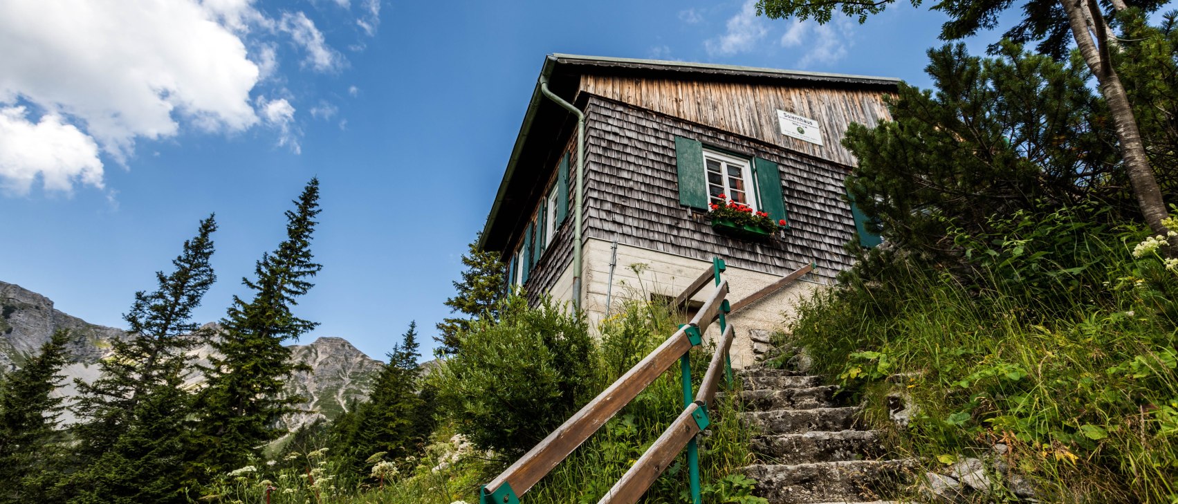
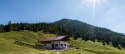
    Huts and mountain pastures in the Alpenwelt Karwendel area:

    • Auhütte (partly managed from approx. early May - mid-June / mid-September - mid-October; closed on Mondays)
    • Fischbachalm (partly managed from approx. mid-July - early September; closed on Mondays)
    • Soiernhaus (approx. end of May - mid-October)
    • Vereiner Alm (approx. June - mid-September)
    • Wettersteinalm (approx. end of June - early September)

    Accommodation and Restaurants can be found here for every budget and taste in Mittenwald, Krün and Wallgau.

    General information about the tour

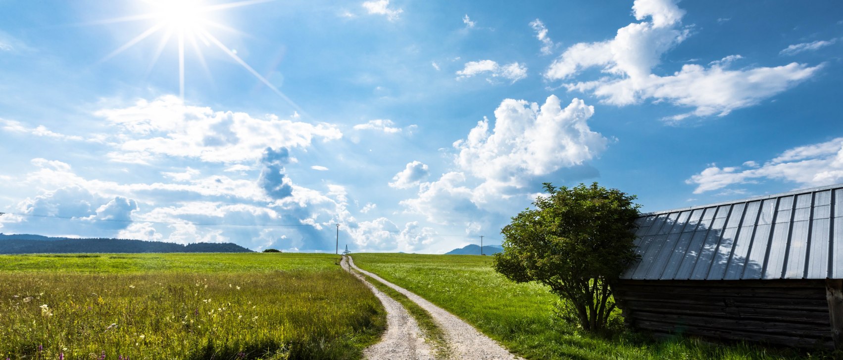
    Alternative route & further tips

    Locals recommend the tour clockwise!
    The flatter parts can also be walked in winter.

    Parking

    • Hiking car park at the Isarsteg in Wallgau (fee required)
    • Hiking car park "Im Gries" in Krün (fee required)
    • Parking "P1" at Mittenwald railway station (fee required)

    Best season

    • From June to October (weather dependent)

    In emergencies:
    In an emergency, please contact the nearest rescue coordination centre. This can be reached regardless of location and throughout Germany under 112.


    The ascent or driving of all described tours of the Alpenwelt Karwendel is at your own risk. The topicality and completeness of the contents cannot be guaranteed.


    .

    Height profile