Isar cycle path Start from the source of the Isar to Fall
Bike tour

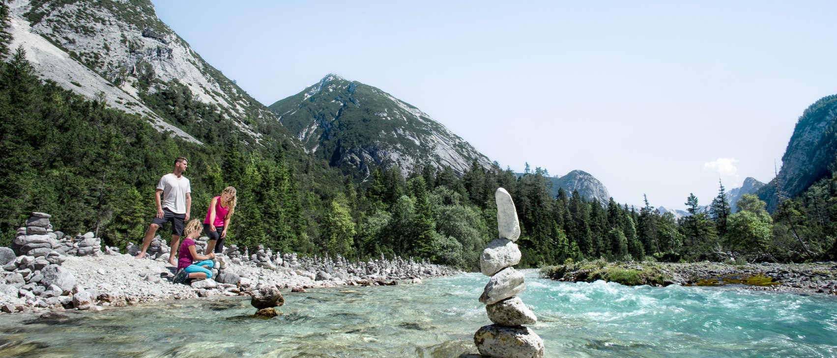


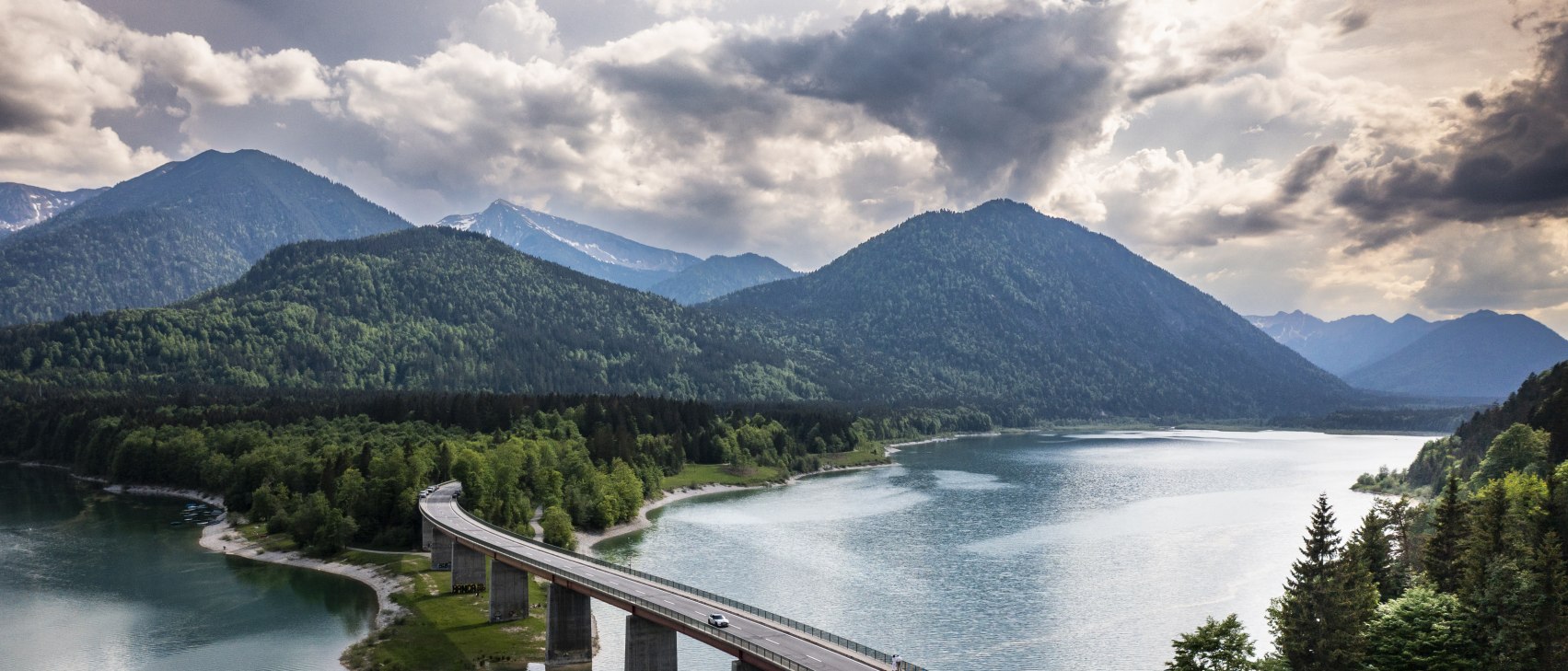


Start: Source of the Isar Scharnitz - Destination: Sylvenstein reservoir
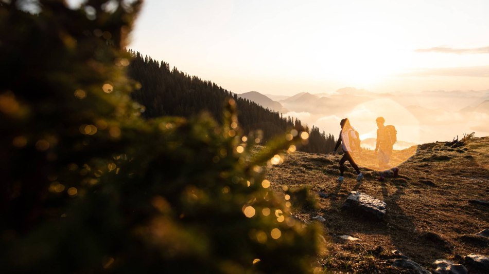
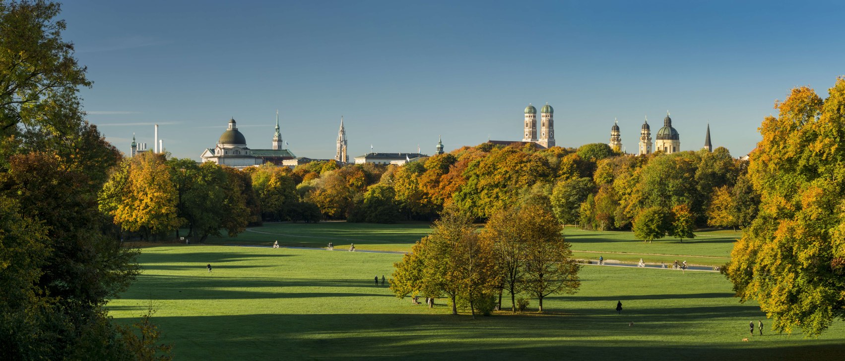
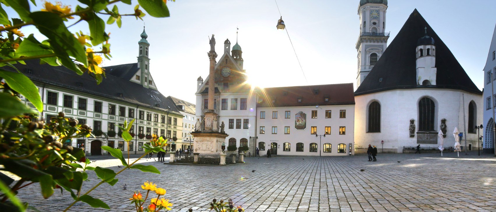
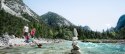
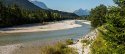
The ISAR CYCLE PATH: From the source of the Isar in the Hinterautal valley near Scharnitz, the Isar cycle path follows the course of the river. Via Scharnitz, Riedboden, Mittenwald it goes via Krün to Wallgau and further downstream to the Sylvenstein reservoir. From there, there is the connection to Bad Tölz - Munich - Landshut - Deggendorf.
You can get to the starting point at the source of the Isar near the hut Kastenalm in Hinterautal by following the Isar upstream for approx. 15 kilometres from Scharnitz. Scharnitz can be reached from Munich via Mittenwald and directly by train from Innsbruck. After starting at the source of the Isar, the trail leads back to Scharnitz, continuing along the Isar in the village and along the state border at the petrol station to Riedboden near Mittenwald. The Isar cycle path then leads along the Isar through Mittenwald - a detour to the town centre is also worthwhile! At the barracks, the path leads under the B2 and past the Isarhorn to the cycle path to Krün. In Krün, just before the church, turn left into Feldstraße and out of the village via Otenwanger Weg to Wallgau. In the centre of Wallgau, briefly follow the B11 up the small hill and then turn left to Vorderriss-Bad Tölz. Follow Risser Straße along the Isar down to the Vorderriss bridge and along the B307 to Sylvensteinsee. The route towards Munich continues from there via Lenggries-Bad Tölz.


Dammkarstraße 3
82481 Mittenwald
Tel: +49 (0) 8823 / 33 9 81
Stay up to date with the Alpenwelt newsletter! Featuring stories, tips for your vacation, exclusive offers and much more.
Sign up directly