Isar Bike Path
Bike tour


Start: Start in Scharnitz; return from Plattling train station - Destination: Start in Scharnitz; return from Plattling train station
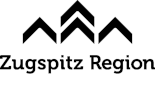
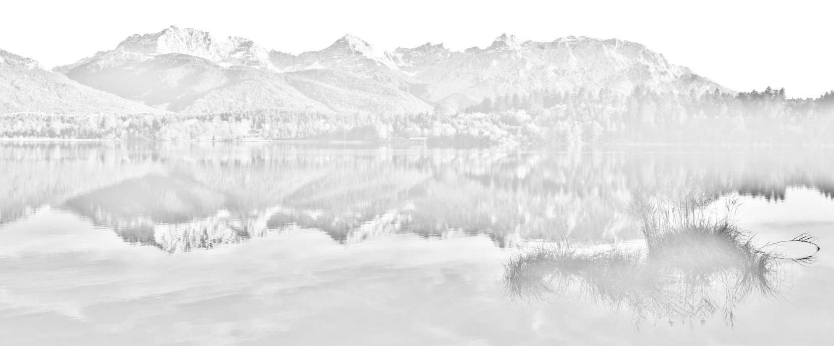
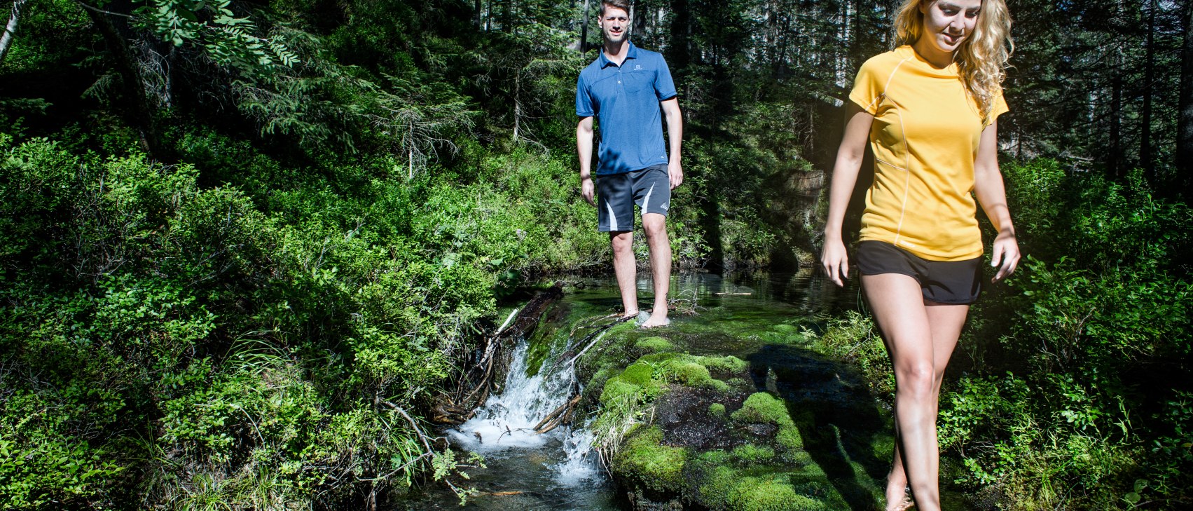
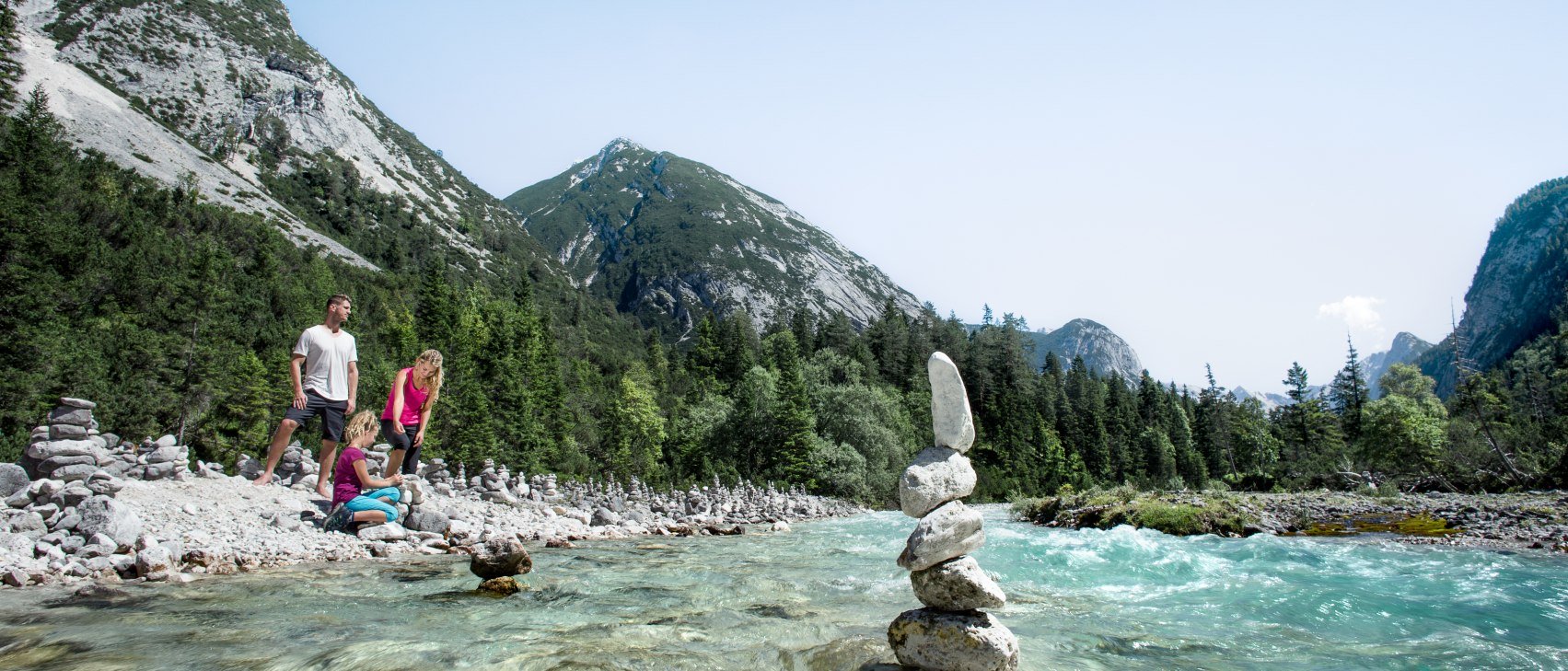
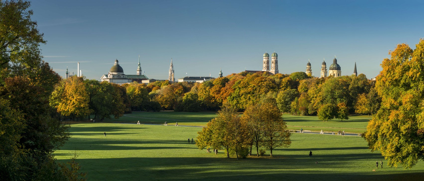
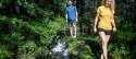
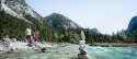
The ISAR BIKE PATH: From the Karwendel Mountains over moraine landscape and the Munich gravel plain to the mouth of the Isar near Deggendorf, the crystal-clear mountain stream grows into a stately river over a distance of almost 300 kilometres. The Isar Cycle Path offers the opportunity to discover this natural landscape at close quarters.
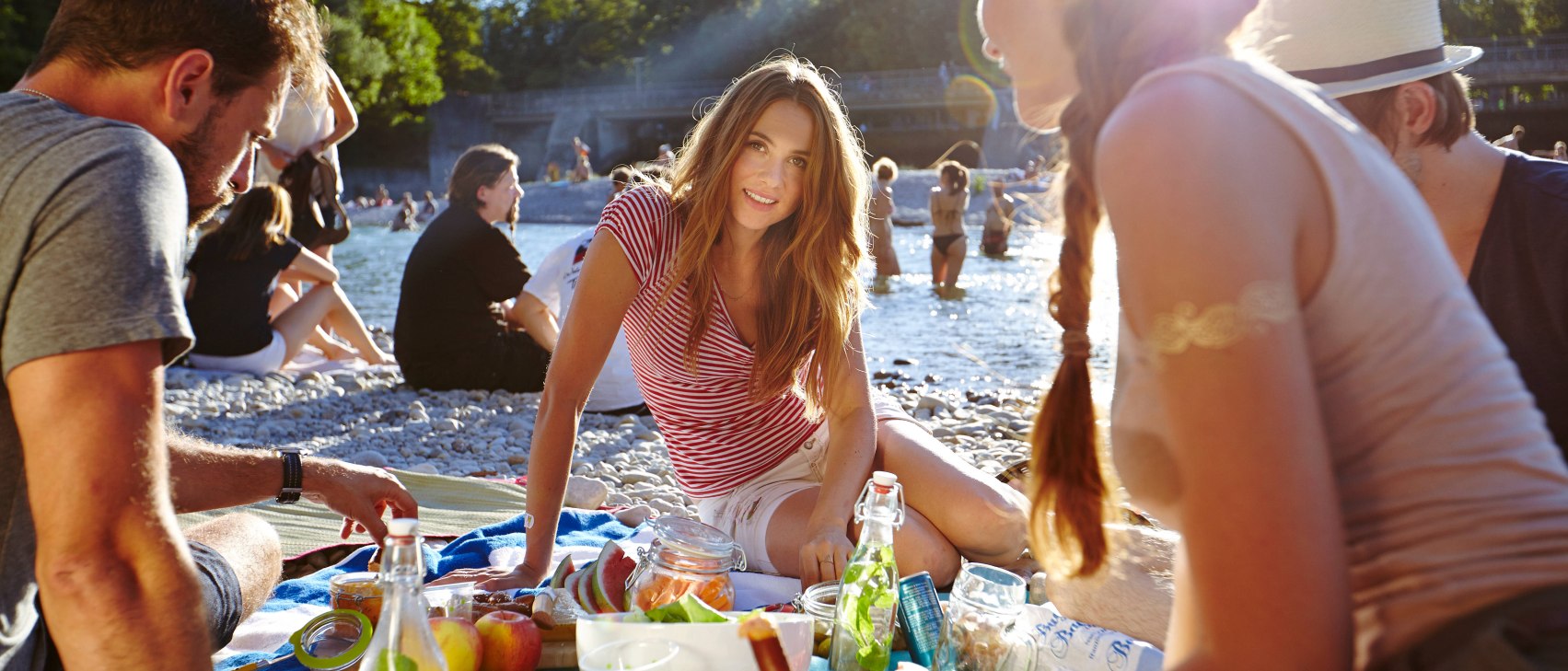
The Isar is one of the most beautiful natural jewels in the heart of Europe: left in its natural state in large parts and largely renaturalised where it has been cultivated, a rich flora and fauna has been able to develop along the water. From the Karwendel Mountains over moraine landscape and the Munich gravel plain to the mouth of the Isar near Deggendorf, the crystal-clear mountain stream grows into a stately river over a distance of almost 300 kilometres - and shows many different faces along the way. The Isar Cycle Path offers the opportunity to discover this natural landscape at close quarters. In addition, the towns and cities along the route offer a wide range of cultural activities. If you are active, you will also get hungry and thirsty: numerous inns, shops and (weekly) markets along the route offer the opportunity to quench your thirst. The range of regional products - from fish to sausages and cheese to farmhouse ice cream - is diverse and invites you to have a picnic at one of the beautiful riverside spots.


Dammkarstraße 3
82481 Mittenwald
Tel: +49 (0) 8823 / 33 9 81
Stay up to date with the Alpenwelt newsletter! Featuring stories, tips for your vacation, exclusive offers and much more.
Sign up directly