Hike on the Geological Loop Trail in Wallgau
Hiking tour:Round tour
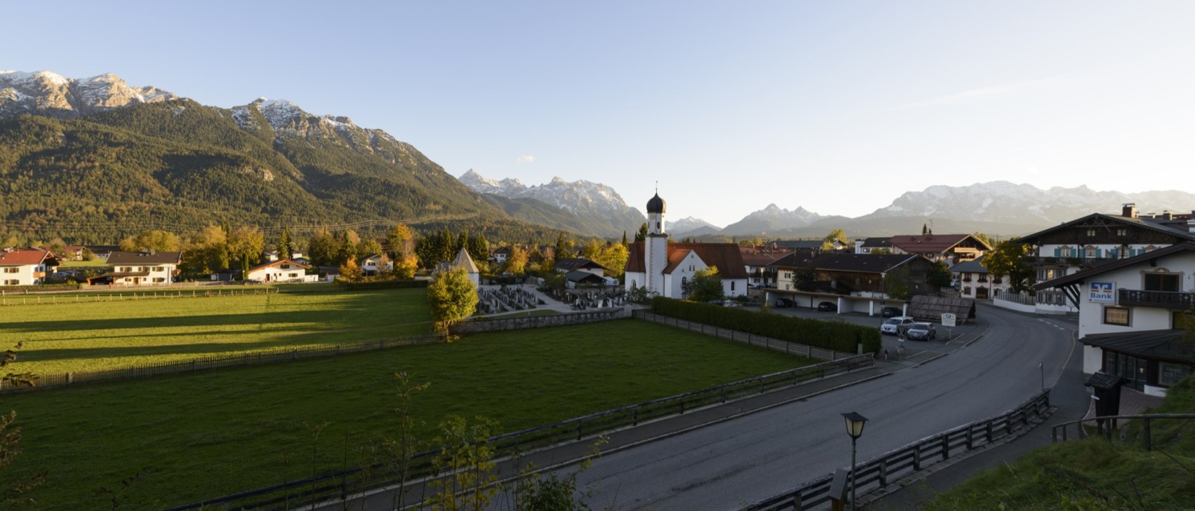

Start: village square Wallgau - Destination: Parking lot Haus des Gastes Wallgau
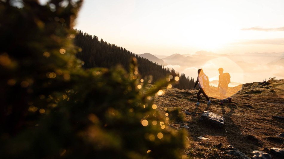
This informative hike on the Geological Loop Trail in Wallgau will lead you over the tracks of the Ice Age, where you will learn many interesting things about the region's Buckelwiesen "hummock meadows," polished glacial rock, tumuli, drumlins, dolines and other geological features in the Alpenwelt Karwendel Region.
The first info panel can be found at Dorfplatz in Wallgau: "Various limestones of the region." A variety of fossils which contributed to the creation of the Karwendel mountains are shown here. From there, follow Simetsbergstraße to the polished glacial rock and the spring. Before the ascent to the Maxhütte alpine hut (Fahrenberg, about 30 mins., no trail numbers), where you will find a spectacular, all-around view and can stop for a snack in a homey, inviting atmosphere, the road branches to the left. There you will find three and four, "Historical Mining" and "Ice Age Landscapes." Among other things, they show how cavern slate, sandstone and ore were removed and processed for a wide variety of uses. Later, you will encounter the peculiar tumuli: pointed hills created by the layering of river deposits amidst the glaciers. There are only seven in all of Bavaria; three of them can be admired right here. The "Tumuli" info panel ends the loop tour, and you can return to Dorfplatz.


Dammkarstraße 3
82481 Mittenwald
Tel: +49 (0) 8823 / 33 9 81
Stay up to date with the Alpenwelt newsletter! Featuring stories, tips for your vacation, exclusive offers and much more.
Sign up directly